The Flood Management Plan Process
Plans are useless, but planning is everything. President Dwight D. Eisenhower
Floodplain Management Plans
A floodplain management plan is a playbook for managing the risk of flooding and has similar definitions through FEMA Community Rating System and the Corps of Engineers planning guidance. This includes the story of identifying and assessing flood risk, then reviewing the full menu of measures and explaining why each measure is, or is not, a fit for the community. The playbook includes prioritized actions for taking on the long-term process of doing activities and constructing features that manage flood risks and can be used by elected officials to justify the actions behind every measure.
The language behind USACE Policy Guidance Letter on FMPs.
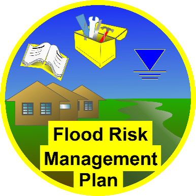
The icons, like the circular one above, are used on this webpage to help visualize the different elements, such as what’s in a flood management plan (FMP). Looking at it, we see an open guidebook, a toolbox, a symbol for water level, and a landscape in the floodplain. The age of paper plans is going away, but the guidebook still serves as a reminder to do planning. The full menu of measures is the toolbox. The water level is a necessary reminder for the public of the highwater and other flood hazards. The buildings in the floodplain are our focus on consequences, and of course, the river is the flood source. This imagery serves to begin involvement in the important result: A playbook the community follows to achieve flood resilience.
An Inside Look…
Consider what President Eisenhower meant in the quote above about the planning process. The process is about going through the strategies and tools, including public involvement and integrating across departments at city hall. The strategies and tools form the most important part of the flood (or floodplain) management plan (FMP). Maybe better called a flood risk management plan. They allow the FMP to have an approach consistent with other federal agencies and state partners. They originated in the document A Unified National Program for Floodplain Management, prepared by the Federal Interagency Floodplain Management Task Force (FIFM-TF) in 1994. The Mitigation Framework Leadership Group continues to support these and other important flood risk management principles to the day this FMP was established.
The Process Looks Like This…
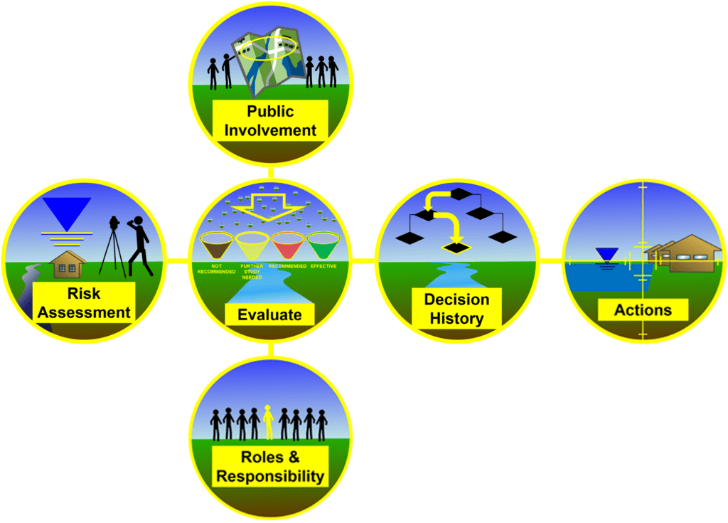
The Process for Developing a Flood Management Plan
The process to reach flood resiliency follows these essential elements, shown above. Working from left to right, a community can gain public understanding of the best tools for their unique situation. The technical leads can assume the necessary roles. A playbook can result, where actions will lead to a flood resilient future. A future where the community thrives. The video below walks you through the process.
Why do we need these plans?
Elected officials need guidance from the staff in the city, county/parish/borough in order to prioritize risk management options into actions. The FMP helps staff articulate or make the case for these decisions. This helps the elected officials avoid expending limited resources on problem areas that are driving the flood risk.
Four Bins for the Measures
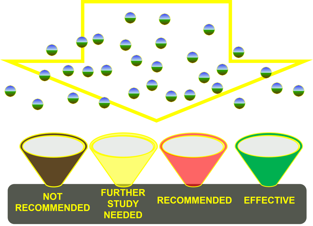
The Sorting of the Measures
The communities departments consider the entire list of strategies and tools. This is the intent of FMPs, which is to review all tools and tell why each was or was not included.
The FMP forms a list of strategies and tools with four categories from the Unified Program noted above.
Federal Unity on Measures
When all these measures are thoroughly considered, the effort addresses completeness, effectiveness, efficiency, and acceptability.
These federal agencies once agreed on strategies, as identified by the Federal Interagency Floodplain Management Task Force (FIFM-TF) during the formation of the Unified Program. The first of the four strategy categories is modifying human susceptibility to flood hazards. The second is modifying the impact of flooding. Next, is the strategy, preserving and restoring floodplains’ environmental quality. And finally, the last strategy is modifying floodwaters. The first three deal with the floodplains, and the last addresses the probability of flooding.
Under the strategies are tools, the “measures,” that the flood risk management professional refers to with very deliberate terminology in order to bring the public along in the process. The terminology clarifies that the measures are either an “activity” or a “feature.” The public will view each tool differently: Consensus has to be established over time. The city and counties evaluate each of the possible tools with one of the following terms after involving the stakeholders in the decision process:
These activities and features that are the community’s best fit get sorted by…
- Not Recommended,
- Further Evaluation Needed,
- Recommended, and
- Effective.
…and by doing that, everyone can see why the tool works or not.
Getting To Actions
The resulting decisions define the actions the community pursues. These documents become a playbook for the community’s administration and elected officials to pursue over time. The challenge is this can take years, and the community needs the time to identify funding sources. Without this process, there is no playbook.